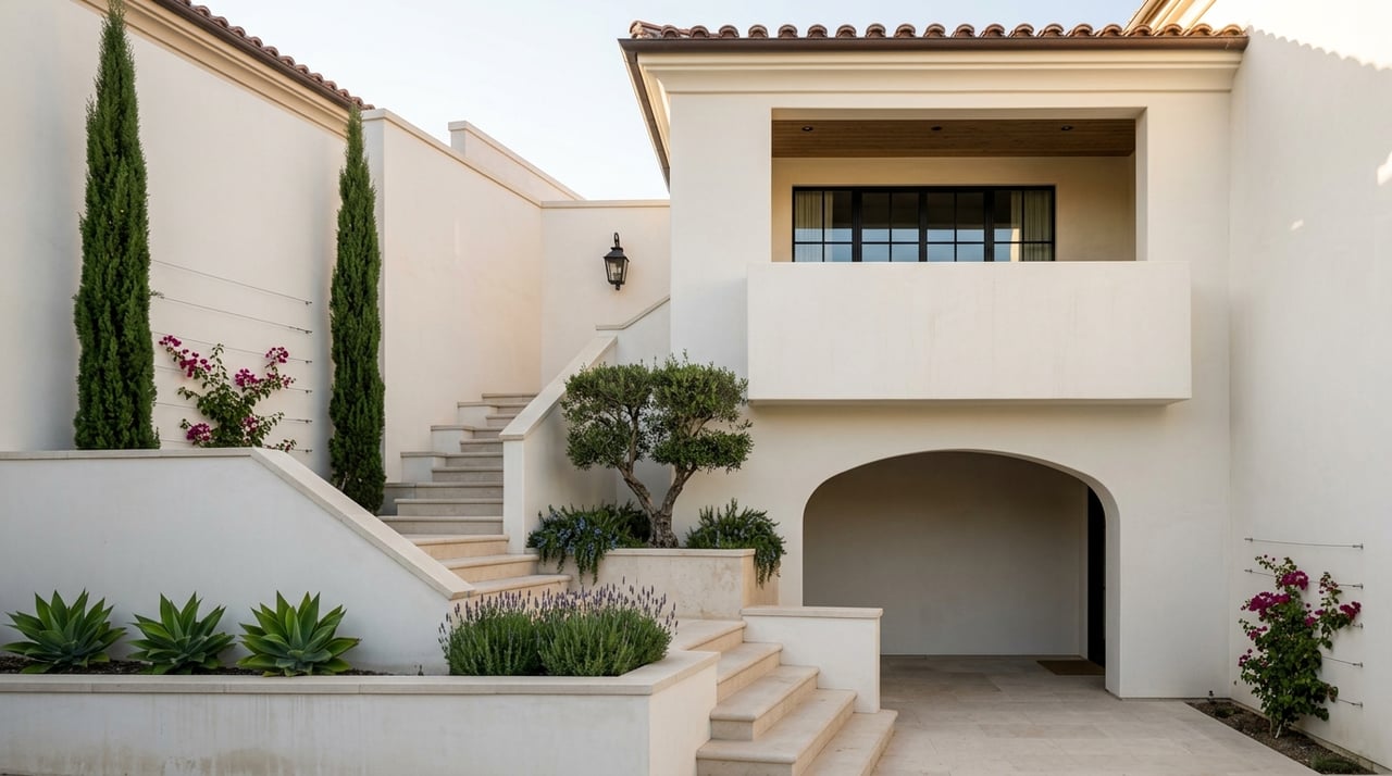
Understanding The Micro-Neighborhoods Of Corona Del Mar
July 2, 2026
July 2, 2026
If Corona del Mar feels hard to pin down, that is because it is. What looks like one coastal neighborhood on a map often lives like several very different places block by block. If you are trying to buy or sell here, understanding those micro-neighborhood differences can sharpen your search, pricing, and expectations. Let’s dive in.
Corona del Mar is best understood as a collection of smaller subareas, not one uniform district. The City of Newport Beach separately maps areas including Corona del Mar, Corona del Mar Village, Irvine Terrace, and Cameo Shores, Corona Highlands, and Shorecliffs.
That distinction matters because daily life can change quickly from one pocket to the next. In Corona del Mar, buyers often compare walkability, beach access, lot size, slope, parking, and view orientation just as much as square footage or price.
Corona del Mar sits on a coastal platform and bluff system rather than a flat grid. City planning documents note that the coastal platform ranges from about 95 to 100 feet above sea level, with ocean-facing bluffs along the shoreline and view corridors on many north-south streets.
In practical terms, that means two homes that seem close on a map may feel very different in person. A street’s slope, view angle, and traffic pattern can shape privacy, natural light, and day-to-day convenience in ways that matter just as much as distance to the sand.
If you want easy access to coffee, shops, restaurants, and errands, the Village and nearby Flower Streets are often the starting point. The city describes the Corona del Mar corridor along Coast Highway between Avocado Avenue and Hazel Drive as a pedestrian-oriented retail village with specialty shops, restaurants, home furnishings, professional offices, and Sherman Library and Gardens.
This is the compact, active heart of Corona del Mar. For many buyers, the appeal is being able to step out and move through daily life on foot rather than needing to drive for every stop.
The housing feel here is generally older and smaller-scale than some of the elevated pockets nearby. The original village layout still largely remains, with roughly 2,300 parcels on 30-by-120-foot lots, although many earlier cottages have been replaced by larger lot-line homes.
That creates a streetscape with variety rather than a single, uniform look. You may see original charm, remodels, and newer construction side by side, which is part of what gives the Village its layered character.
Walkability is a major advantage here, but parking is part of the lifestyle. East Coast Highway street parking is free but limited to two hours from 7 a.m. to 6 p.m., and city lots such as the Dahlia/Old School and Bayside lots support the corridor.
For some buyers, that energy feels convenient and connected. For others, the steady activity and parking turnover may feel busier than they want for everyday living.
The ocean-side-of-PCH blocks tend to appeal to buyers who want the coast built into their routine. Corona del Mar State Beach is a half-mile sandy beach framed by cliffs and a rock jetty at the east entrance to Newport Harbor, with access near Iris Street and Ocean Boulevard.
The beach is open daily from 6 a.m. to 10 p.m. and is used for swimming, surfing, and diving. That makes these nearby pockets especially attractive if your version of home includes frequent beach walks, sunset stops, or getting on the sand without much planning.
These blocks are also closely tied to the public viewing system along the bluff. Inspiration Point at Ocean and Orchid and Lookout Point at Ocean and Heliotrope offer city view parks with parking and ocean views, while the Ocean Boulevard walkway project emphasizes the pedestrian experience from Poppy Avenue at Little Corona Vista Point to Carnation Avenue.
That public access helps create some of Corona del Mar’s most iconic scenery. It also means beach-close streets may see more foot traffic, public parking turnover, and weekend visitor activity than more interior or elevated residential pockets.
Home stock in this band generally leans toward older cottages, remodels, and custom or rebuilt homes on bluff-adjacent residential lots. City planning documents describe these coastal bluff neighborhoods as conventional residential subdivisions developed lot by lot.
For buyers, that usually translates to more architectural variety and a stronger case for evaluating each block closely. For sellers, it can mean pricing and presentation should reflect not only the home itself, but also the exact street position, outlook, and proximity to public access points.
Little Corona has a different feel from the main state beach. The city describes it as sitting at the lower mouth of Buck Gully Canyon, accessed via Glen Drive from Poppy and Ocean Boulevard, and known for rocky reefs, tide pools, and diving.
Because it is smaller and more secluded than Corona del Mar State Beach, the daily rhythm can feel quieter and more tucked away. Buyers who want coastal access but prefer a less open, more intimate setting often pay close attention to this pocket.
Even within beach-close Corona del Mar, this area stands apart. The landscape and access pattern create a different experience from the wider sandy beach environment, which is why it deserves to be considered as its own micro-market within the broader neighborhood conversation.
If your priority is privacy, larger sites, or a quieter residential pattern, the hilltop and terrace areas often rise to the top. The city separately maps Irvine Terrace and Cameo Shores, Corona Highlands, and Shorecliffs, reinforcing that these are distinct parts of the Corona del Mar area rather than extensions of the Village.
These pockets typically trade immediate walkability for more separation from commercial activity. For many buyers, that tradeoff is worthwhile when they want a calmer setting and a stronger sense of retreat.
Topography is especially important in these enclaves. City planning documents identify bluff land above the Harbor Entrance in Corona del Mar and bluffs along Bayside Drive in Irvine Terrace, while also noting steep canyon landforms at Buck Gully and Morning Canyon with residential development on the slopes.
That means broader views and visual openness may come with steeper streets, different access patterns, or less straightforward walkability. In these areas, the best comparison is often not just home to home, but lot to lot.
Because bluff and terrace development occurred lot by lot, the housing mix tends to be less uniform. Older homes, major remodels, and newer rebuilds may appear side by side, especially in areas where site orientation and view potential shape long-term value.
For sellers, this makes thoughtful positioning especially important. For buyers, it reinforces why local guidance matters when comparing one seemingly similar street to another.
Some Corona del Mar pockets are shaped as much by open space as by the ocean. Buck Gully Reserve includes 254 acres of city-owned open space, is open daily from dawn to dusk, and offers trails and naturalist-led activities.
For homes near canyon edges, that can make protected open space feel like a built-in neighborhood amenity. It adds a different kind of daily rhythm, one centered less on retail or beach crowds and more on trail access, natural contours, and visual separation.
If you are deciding between pockets of Corona del Mar, it helps to compare them based on how you actually want to live. A simple checklist can make the process much clearer.
Buyers who want the shortest walk to the commercial corridor often begin with the Village and Flower Streets. Buyers who want beach access and public view parks in daily reach often compare the ocean-side-of-PCH and bluff-top blocks near Ocean Boulevard, Poppy, Orchid, Heliotrope, and Jasmine.
Buyers who want more privacy, larger sites, and stronger separation from commercial activity often compare Irvine Terrace, Cameo Shores, Corona Highlands, Shorecliffs, and canyon-edge streets near Buck Gully and Morning Canyon. That is why Corona del Mar is less about choosing one neighborhood and more about matching your priorities to the right pocket.
For buyers, understanding these micro-neighborhoods can help you avoid chasing the wrong version of Corona del Mar. A home that looks perfect online may feel too busy, too sloped, too removed, or not connected enough once you understand the block-level context.
For sellers, micro-neighborhood clarity can shape smarter pricing and stronger positioning. The way a home lives within Corona del Mar, whether that means Village walkability, bluff-top exposure, canyon-edge privacy, or beach-close convenience, is often central to how buyers perceive value.
In a market this nuanced, broad labels rarely tell the full story. A more precise read on location can lead to better decisions and a smoother transaction on either side of the table.
If you are thinking about buying or selling in Corona del Mar, working with an advisor who understands pricing, block-level nuance, and presentation strategy can make a meaningful difference. To discuss your goals with a boutique, high-touch local advisor, connect with Lena Ghezel.
Stay up to date on the latest real estate trends.